
Snapshot of Council
Horsham Rural City is a vibrant, multi-cultural community situated in the heart of the Wimmera region of Victoria, approximately 300 kilometres north-west of Melbourne. The municipality has a population of 19,961, covering an area of 4,267 square kilometres, with approximately three quarters of residents living within the urban area of Horsham.
Horsham is the major provider of retail, community and government services in the Wimmera, with dryland and broadacre agriculture being our major industry. There are a range of quality educational and health care facilities including secondary colleges, a university and an agricultural college. The Grains Innovation Park, a nationally acclaimed agricultural research centre, is also based in Horsham.
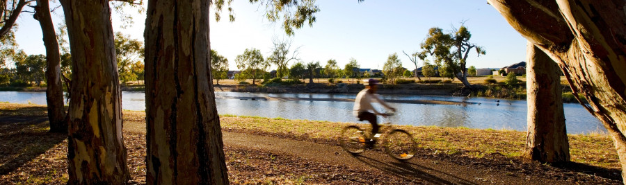
The municipality has a diverse array of natural assets including recreational lakes, wetlands, the Wimmera River, Mount Arapiles, the Wartook Valley, and the Grampians National Park is nearby.
Horsham Rural City Council includes the major centres of Horsham and Natimuk, and the localities of: Arapiles, Blackheath, Brimpaen, Bungalally, Clear Lake, Dadswells Bridge, Dooen, Douglas, Drung, Duchembegarra, Grass Flat, Green Lake, Greenland Dam, Haven, Jilpanger, Jung, Kalkee, Kanagulk, Kewell, Laharum, Longerenong, Lower Norton, McKenzie Creek, Mitre, Mockinya, Mount Talbot, Murra Warra, Noradjuha, Nurrabiel, Pimpinio, Quantong, Riverside, St Helen's Plains, Telangatuk East, Tooan, Toolondo, Vectis, Wail, Wartook and Wonwondah.
Council is committed to working with the community to develop the municipality through strong leadership, vision, good governance, responsive services and quality infrastructure, whilst enhancing our liveability and natural environment.